Thermal Monitoring & Inspection Modules
Thermal imaging payloads and analytics software that find what the eye can't — pollution sources, overheating equipment, and hidden structural problems.
See Heat. Find the Source.
Many problems show up as heat before they show up anywhere else: effluent entering a river, a failing electrical joint, a leaking pipeline, or a smouldering fire. Our thermal monitoring and inspection modules pair aerial thermal imaging with image-analysis software that flags these anomalies and maps them to precise locations.
The modules power Netra, our river monitoring service, and can be configured for industrial inspection on our drone platforms or integrated with existing fleets through our contract R&D services.
From Survey Flight to Actionable Report
- STEP 01
Survey Flight
A scheduled or on-demand flight covers the river stretch, plant, or asset.
- STEP 02
Thermal Capture
The payload records thermal and optical imagery of the whole area.
- STEP 03
Anomaly Detection
Onboard analytics flag outfalls, hotspots, and heat-loss patterns.
- STEP 04
Geo-Tag & Map
Each anomaly is pinned to a location so field teams go straight to it.
- STEP 05
Trend Report
Repeat scans build a site history and compliance-ready reports.
What the Modules Detect
Pollutant Inlet Detection
Identifies inlets and outfalls injecting pollutants into rivers and canals by their thermal signature, and traces them to the source.
Industrial Discharge Monitoring
Detects temperature anomalies from industrial effluent and hidden discharge points to support environmental compliance.
Equipment & Structural Inspection
Finds hotspots in solar panels, power infrastructure, and pipelines, and reveals heat-loss or structural anomalies.
Geo-Tagged Real-Time Mapping
Every anomaly is pinned to a map location so field teams can go straight to the problem.
Trend Analysis & Reports
Regular scans build a history of each site, turning individual flights into actionable reports.
Onboard Edge Processing
Anomaly detection runs on the drone, so results are available even where internet connectivity is unreliable.
Recommended Configuration
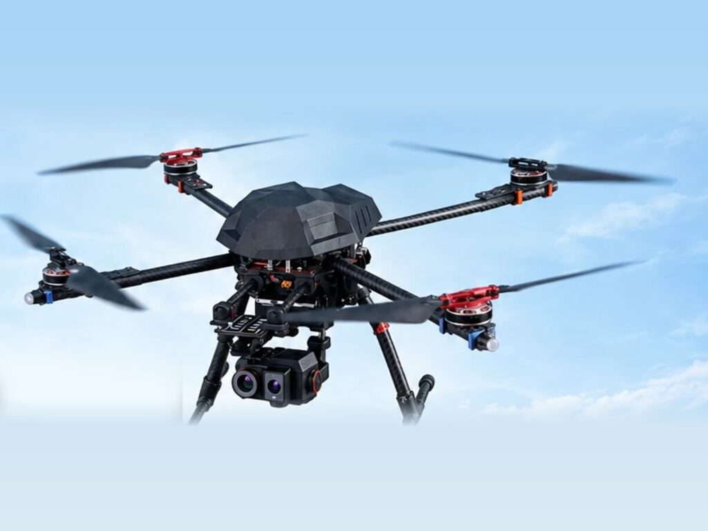 Environmental Monitoring
Netra River Monitoring Service
Thermal aerial surveys of rivers and waterways that detect pollutant inlets, track sources, and deliver trend reports to agencies.
View Product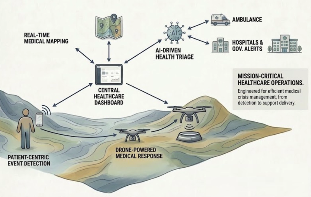 Inspection Platform
Jatayu Autonomous UAV
Carries the dual thermal/optical payload for site inspections, with autonomous docking for scheduled, unattended survey flights.
View Product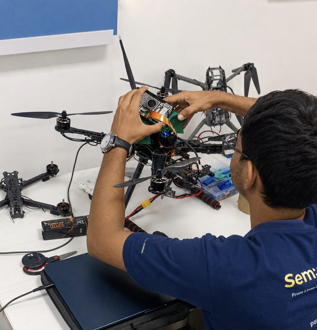 Existing Fleets
Retrofit via Contract R&D
Already operate drones? We can integrate thermal modules and analytics into your existing fleet through our contract R&D services.
View R&D ServicesOther Solutions
Start a Thermal Survey
Share the river stretch, facility, or asset you need monitored and we'll scope a thermal survey or inspection program.